|
Soil Carbon and Other Quality
Indicators in Managed Northern Forests | |||||||||||||||||||||||||||||||||||||||
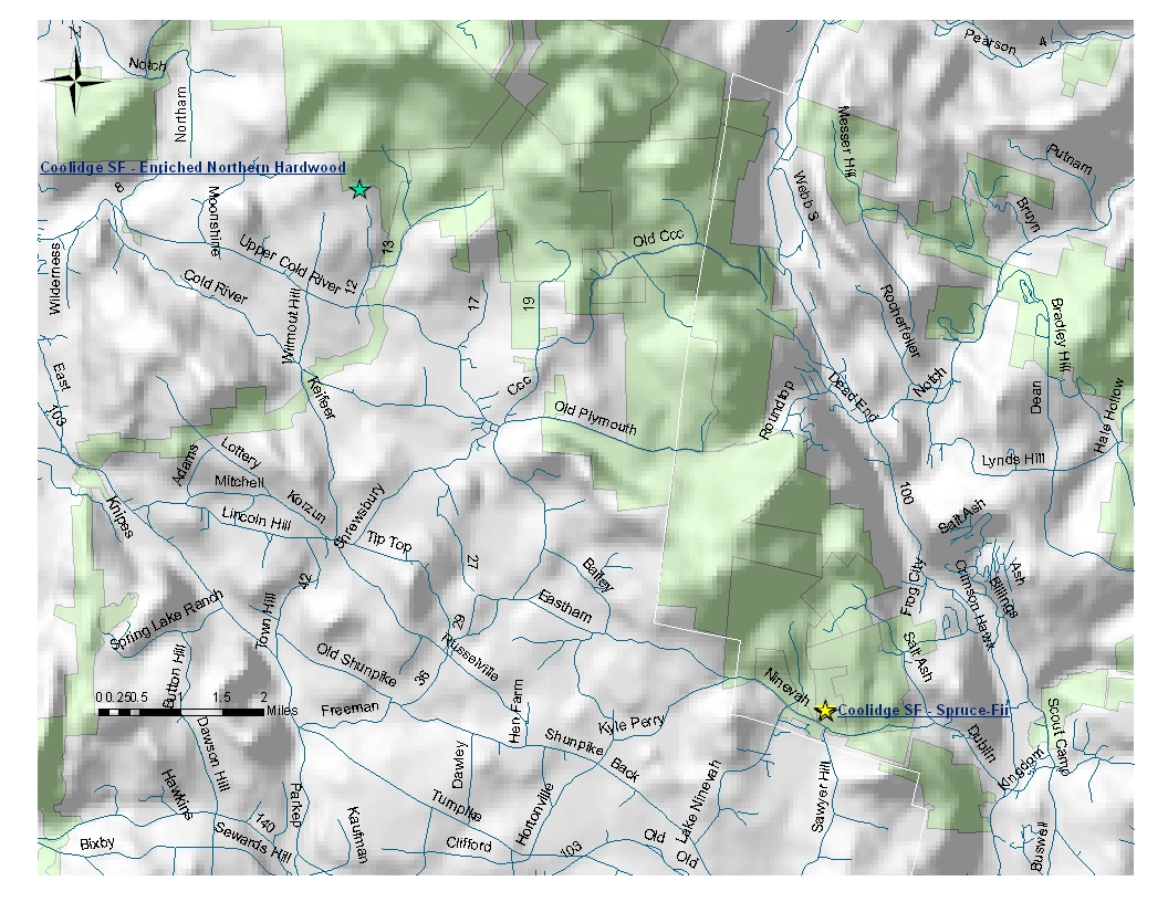
| Coolidge
State Forest 2 sites - map below | ||||||||||||||||||||||||||||||||||||||||
| NIN-
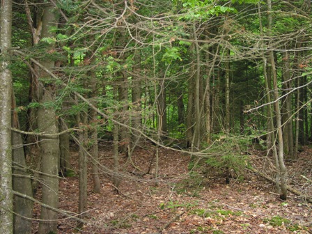
Spruce-Fir Forest Elevation: 553 m - 1,814 ft Average aspect: 182° (S) Average slope: 7° |
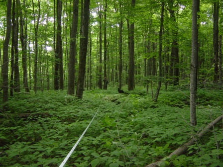
PCB-
Enriched Northern Hardwood Forest Elevation: 651 m - 2,135 ft Average aspect: 193° (S-SW) Average slope: 10° |
|||||||||||||||||||||||||||||||||||||||
 |
 |
|||||||||||||||||||||||||||||||||||||||
NIN - Aboveground
Biomass:
Average Tree Height: 9.97 m
- 32.7 ft |
PCB -
Aboveground
Biomass:
Average Tree Height: 12.14 m
- 39.83 ft |
|||||||||||||||||||||||||||||||||||||||
Percent of total basal area occupied by each tree species: |
||||||||||||||||||||||||||||||||||||||||
|
|
|||||||||||||||||||||||||||||||||||||||
Living tree and sapling biomass (dry weight): | ||||||||||||||||||||||||||||||||||||||||
| 158.1 Mg/ha - 70.5 ton/acre | 212.6 Mg/ha - 94.8 ton/acre | |||||||||||||||||||||||||||||||||||||||
Carbon stored in living trees and saplings: | ||||||||||||||||||||||||||||||||||||||||
| 79.1 Mg/ha | 106.3 Mg/ha | |||||||||||||||||||||||||||||||||||||||
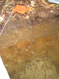
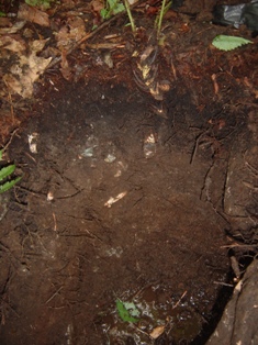
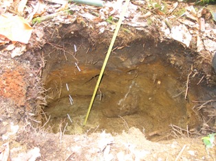
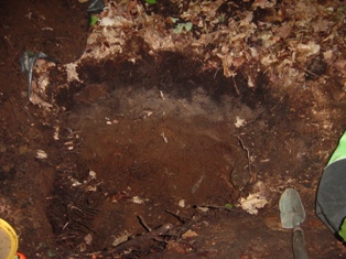
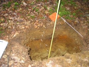
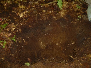
| NIN- Forest Floor and Soil: | PCB- Forest Floor and Soil: | |||||||||||||||||||||||||||||||||||||||
|
|
|||||||||||||||||||||||||||||||||||||||
|
|
|||||||||||||||||||||||||||||||||||||||
|
|
|||||||||||||||||||||||||||||||||||||||