 |
||||
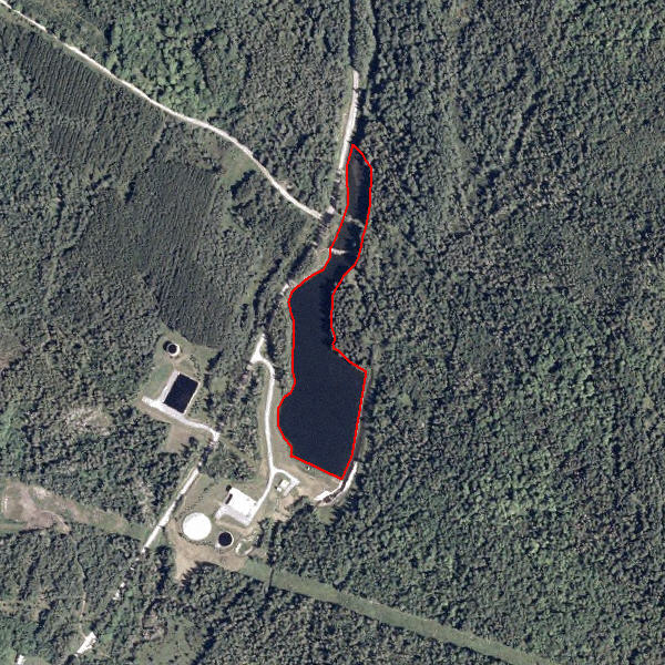
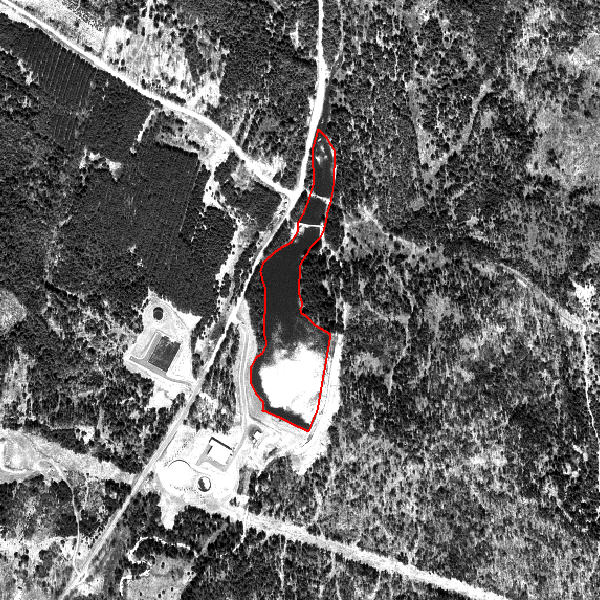
Reservoirs (53)
From Anderson et al. (1976):
Reservoirs are artificial impoundments of water used for irrigation, flood control, municipal water supplies, recreation, hydroelectric power generation, and so forth. Dams, levees, other water-control structures, or the excavation itself usually will be evident to aid in the identification, although the water control structures themselves and spillways are included in the Other Urban or Built-up Land category. In most cases, reservoirs serve multiple purposes and may include all of the land use functions just mentioned. In certain cases like the Tennessee River, the entire length of the trunk stream is impounded. In such a situation, the stream exists as a stairstep series of impoundments with waterway, flood- control, recreation, and power-generation functions but is still considered a reservoir, since the additional functions are the result of impoundment.
Reservoirs (53)
Reservoirs (53)