 |
||||
Residential (11)
From Anderson et al. (1976):
Residential land uses range from high density, represented by the multiple-unit structures of urban cores, to low density, where houses are on lots of more than an acre, on the periphery of urban expansion. Linear residential developments along transportation routes extending outward from urban areas should be included as residential appendages to urban centers, but care must be taken to distinguish them from commercial strips in the same locality. The residential strips generally have a uniform size and spacing of structures, linear driveways, and lawn areas; the commercial strips are more likely to have buildings of different sizes and spacing, large driveways, and parking areas. Residential development along shorelines is also linear and sometimes extends back only one residential parcel from the shoreline to the first road.
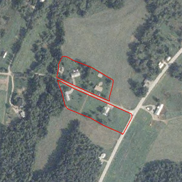
Single Family/Duplex (113)
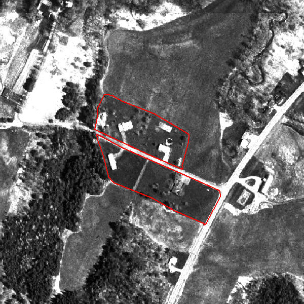
Single Family/Duplex (113)