Vermont Barn Census
Chittenden County Student Research Project - 2010
Photosos
Barn Photos of Underhill
 |
 |
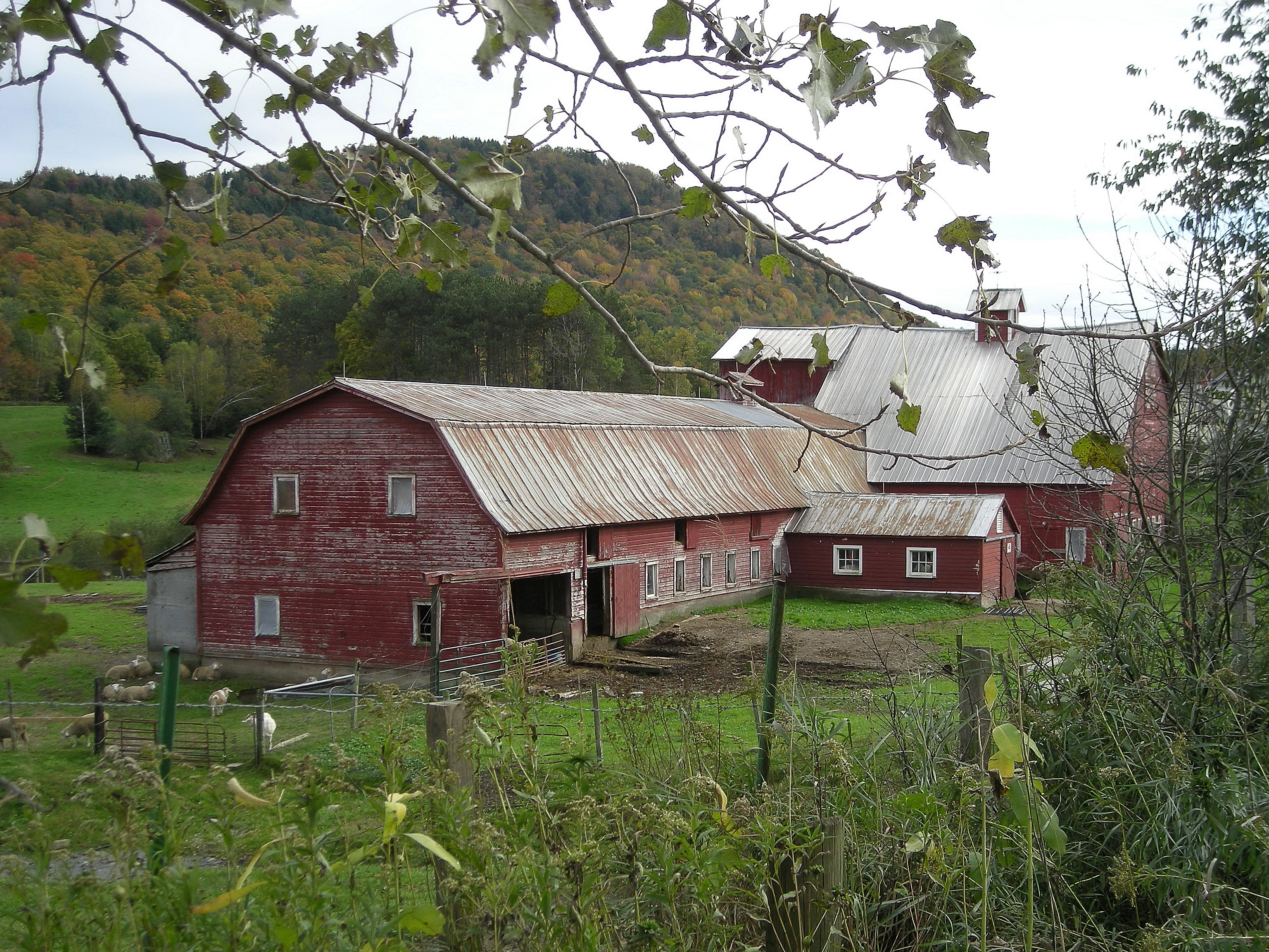
Sheep Farm with multiple barns Irish Settlement Road |
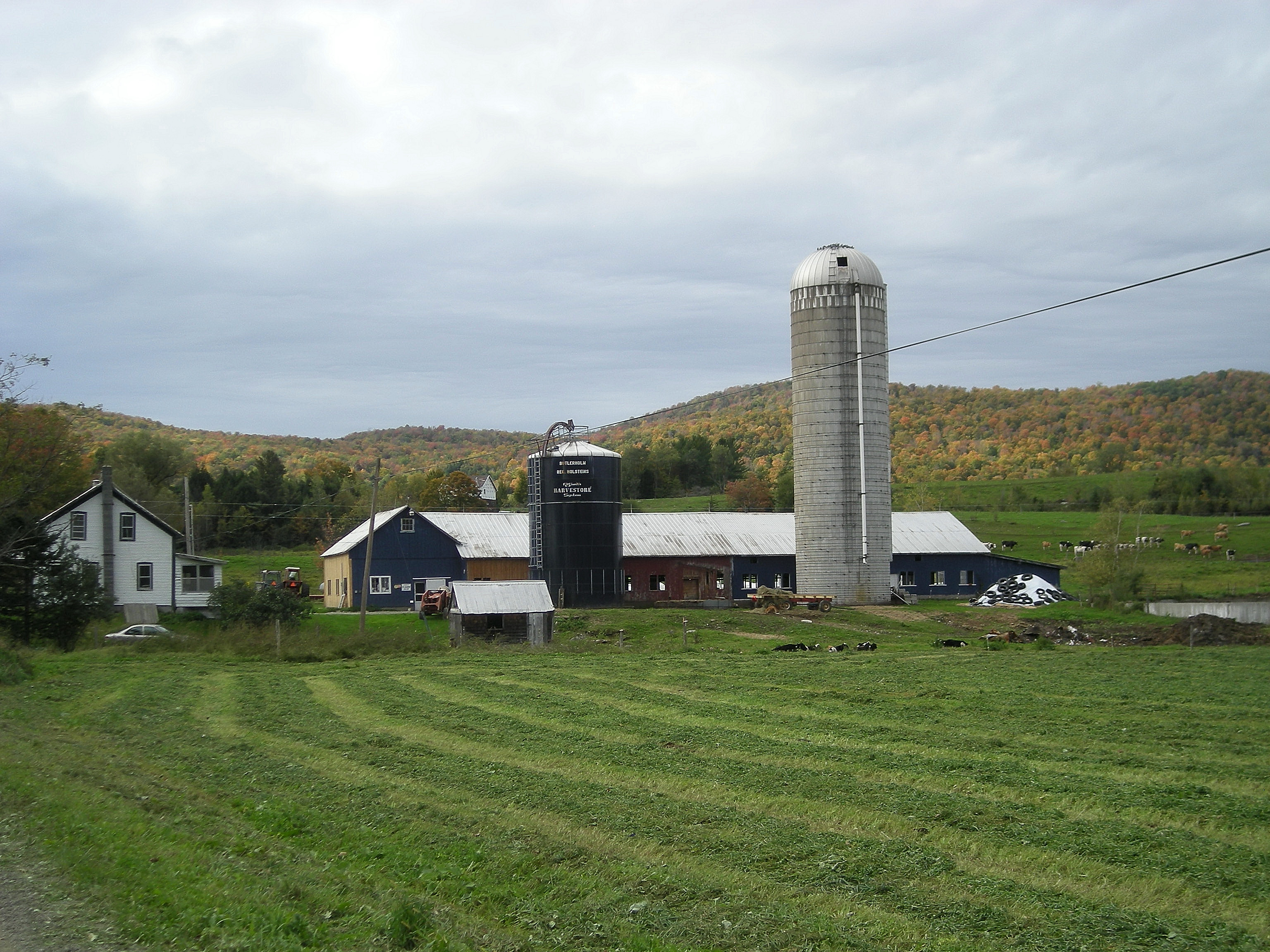
Dairy Bank Barn with Milk House and Concrete Silo Poker Hill Road |
 |
 |
Rebuilding using old materials Poker Hill Road |
Irish Settlement Road |
 |
 |
|
Krug Road |
Route 15 |
 |
 |
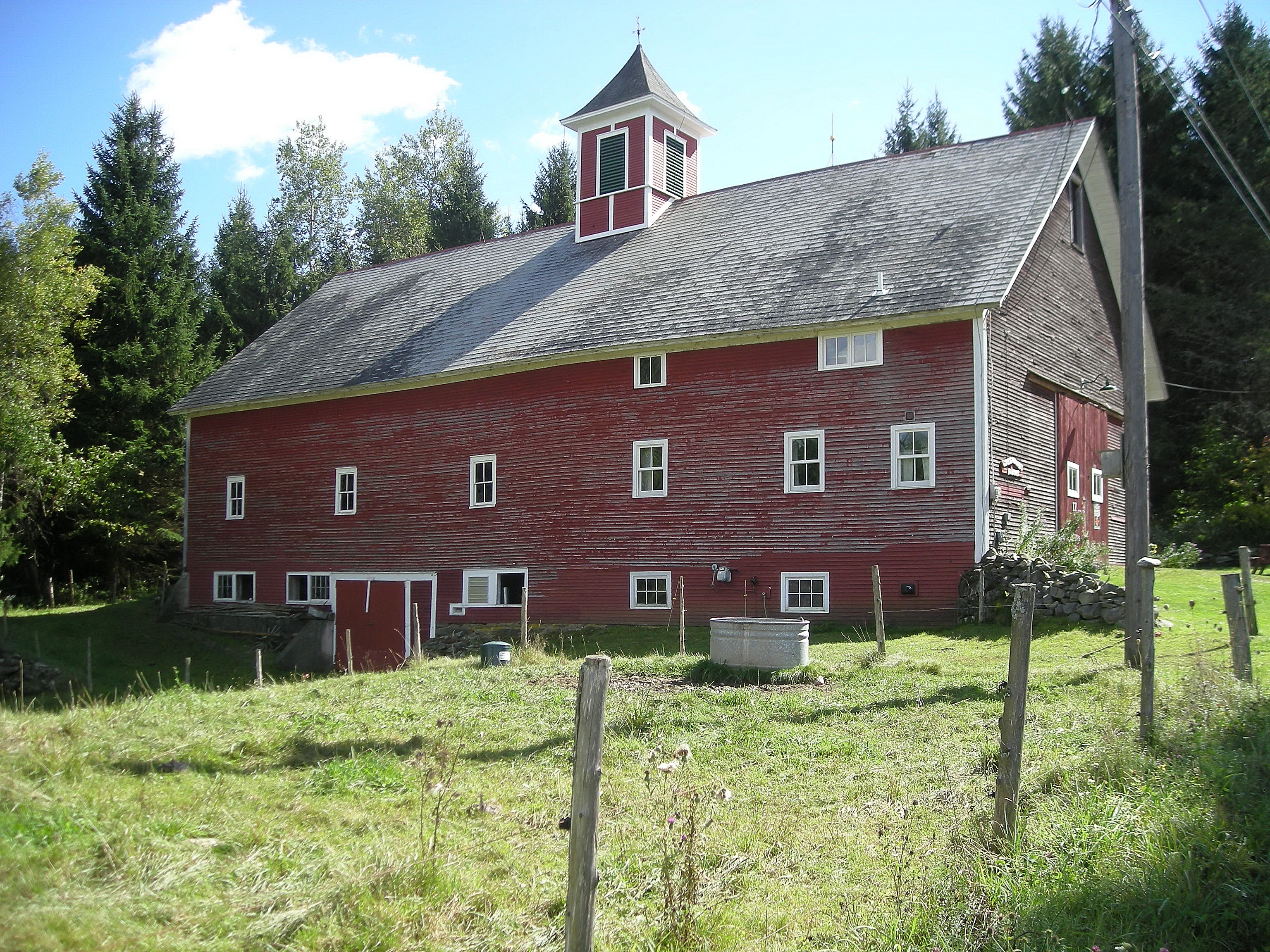
Ground Stable Barn with Harvestore and Concrete Silo Irish Settlement Road |
Poker Hill Road |
 |
 |
Ground Stable Barn with Milk House River Road |
River Road |