Vermont Barn Census
Chittenden County Student Research Project - 2010
|
Vermont Barn CensusChittenden County Student Research Project - 2010 |
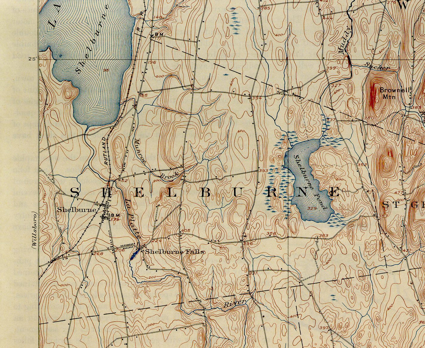
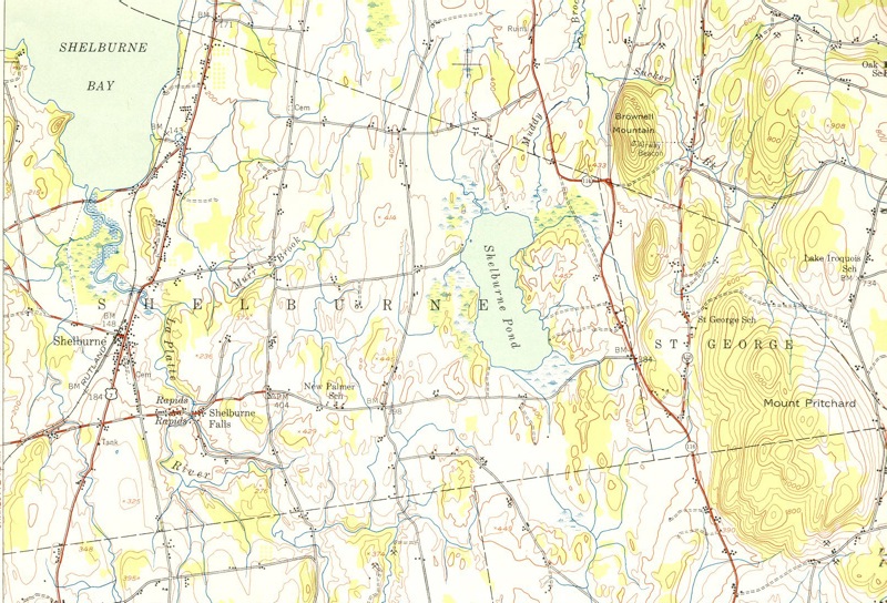
Historic Maps |
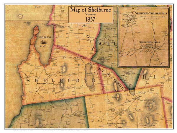
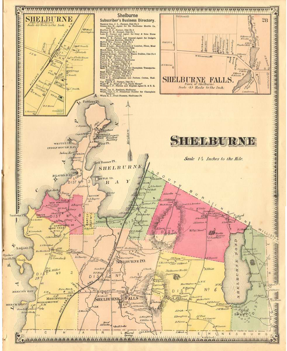
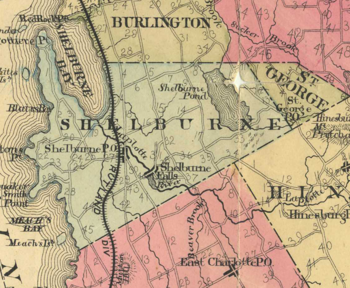
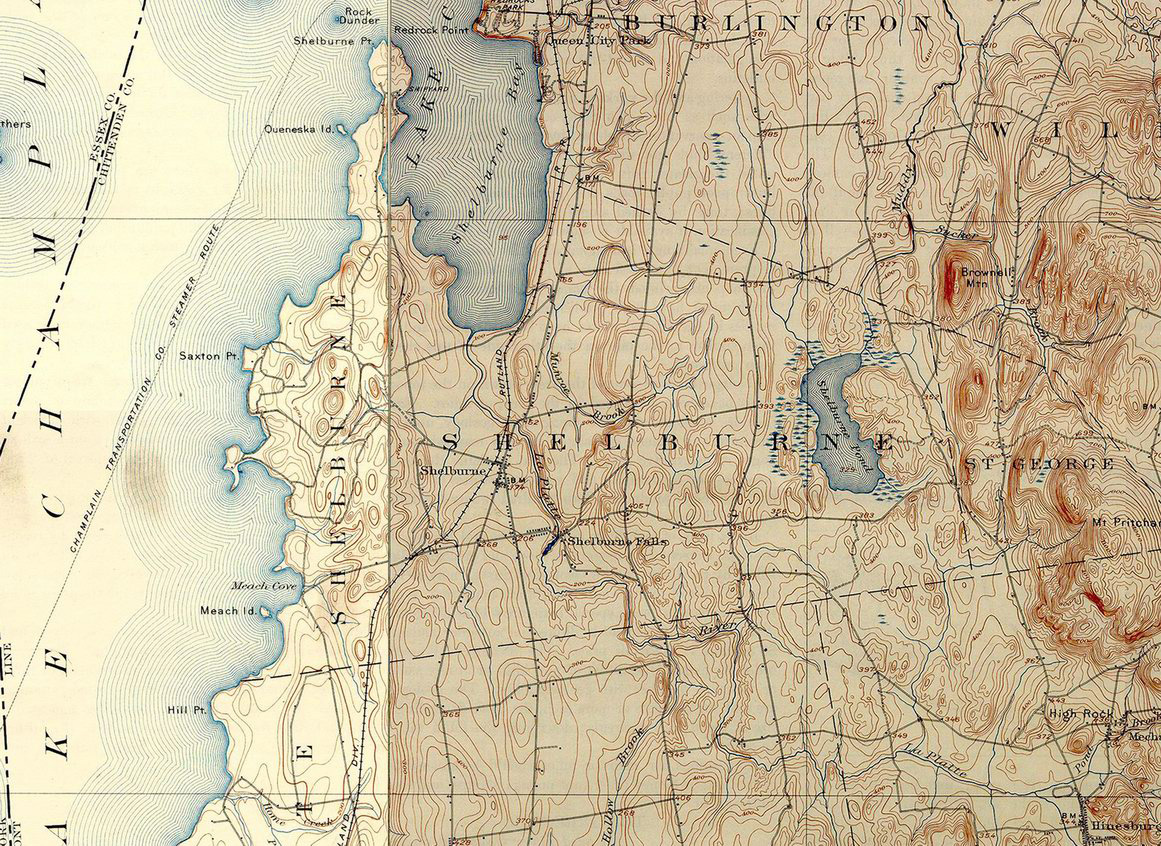
Historic Maps
|
||||||||||||
Funding support for the Vermont Barn Census project has been provided in part by a Preserve America grant through the National Park Service to the State of Vermont Division for Historic Preservation.