Project Overview
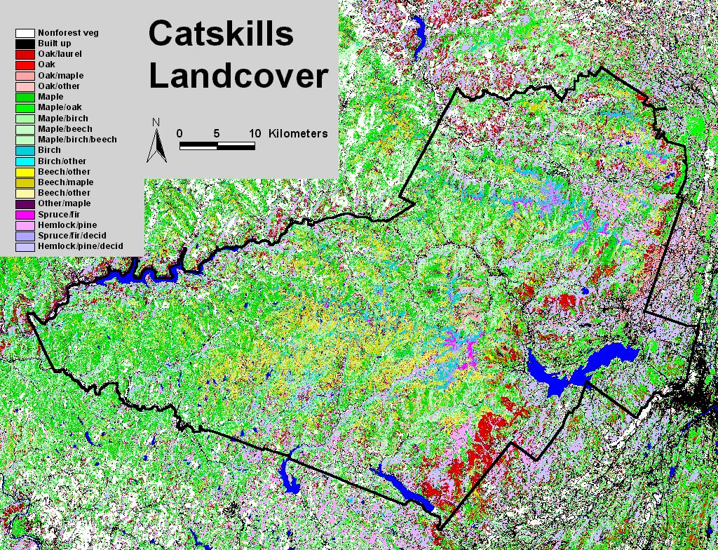
Vegetation cover maps produced for the Catskill Mountains in New York using remotely-sensed Landsat imagery.
Objectives
To use Landsat imagery to map the distribution of vegetation types across the Catskill Mountains in New York.
Dataset Availability
Downloadable: 3 datasets
See the full list of available dataTags
Status - Completed
Start date: 1997-01-01
End date: 2001-08-01
Study Area

Loading...