Project Overview
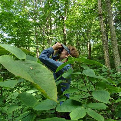
High-resolution LiDAR data (flown summer 2009) were acquired for the Hubbard Brook Experimental Forest in New Hampshire. Researchers collected ground-based measures of forest canopy structure, forest health and productivity, and insect and bird diversity and abundance on 36 50-meter-radius plots throughout Hubbard Brook during summer of 2012. Tree measurements included: percent tree crown and understory closure, yearly tree growth, and leaf nutrient assessment, among other measures. Researchers collected branch clippings and bird counts to estimate insect and bird abundance and diversity. They then assessed relationships between four LiDAR categories of forest canopy structure and the ground-based measurements.
Objectives
To test the use of LiDAR for the assessment of forest structure and biodiversity
Dataset Availability
There are no datasets associated with this project
Tags
Status - Active
Start date: 2013-01-01
Study Area
