
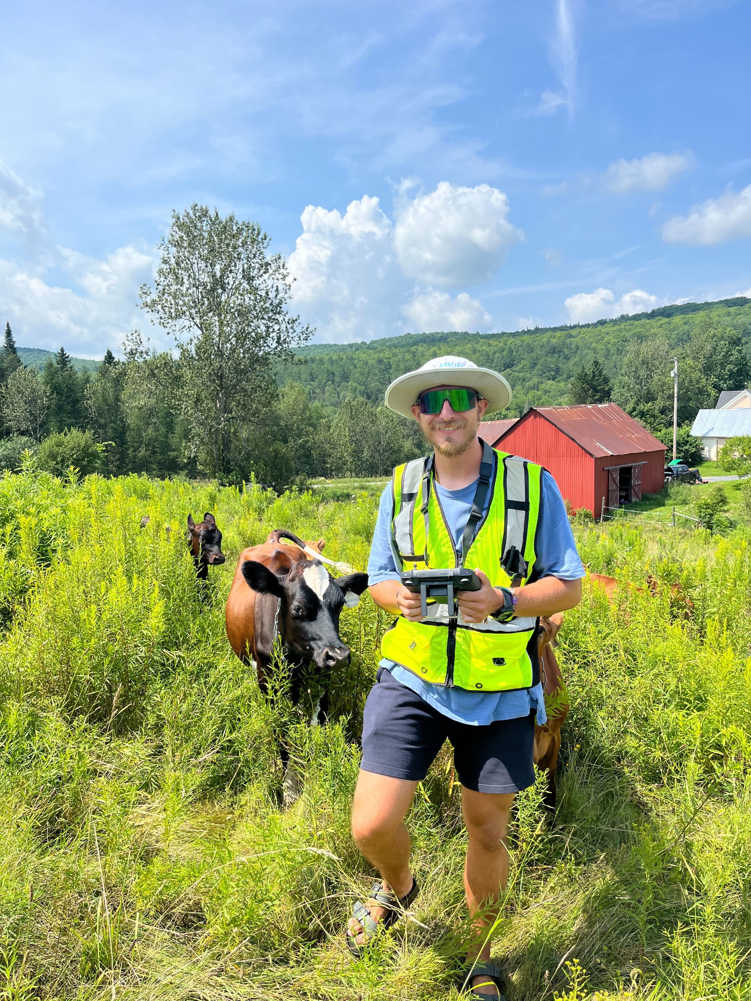
"This photo captures a sUAS flight operation (LiDAR, True Color) conducted in Northern Vermont I conducted with the UVM SAL. These flights were in support of local farmers and families devastated by the July 2023 floods. Throughout this month we flew 150+ flight missions in support of our small, yet resilient state. This data was captured, processed and shared with the local families and businesses, state decision makers and the federal government (FEMA) to aid in the natural disaster declaration that our state needed for recovery. Although these were very humbling, surreal times, as these flooding events are only something you read about in class; to experience it, be able to aid those in need and then catch a glimpse of enjoyment as we stumbled across a herd of cows on a locals farm made this photo very special."
